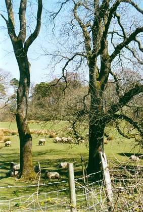
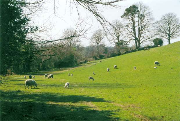
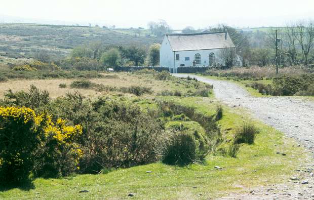
Right and below: Sheep grazing near Llwyn-y-domen Farm
Above: View looking north from above the village of Craig-cefn-parc.
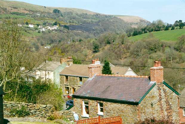
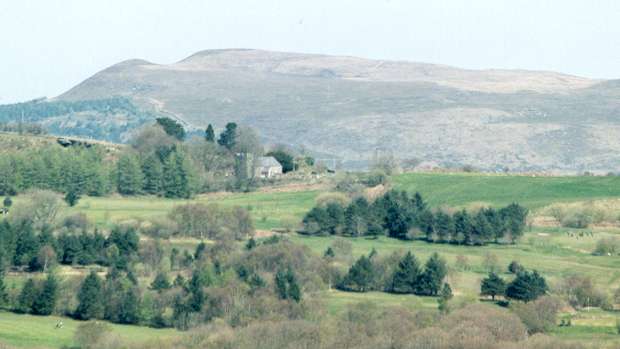
Above: View looking east from above Craig-cefn-parc. Cathelyd-isaf Farm is in the middle distance (centre)
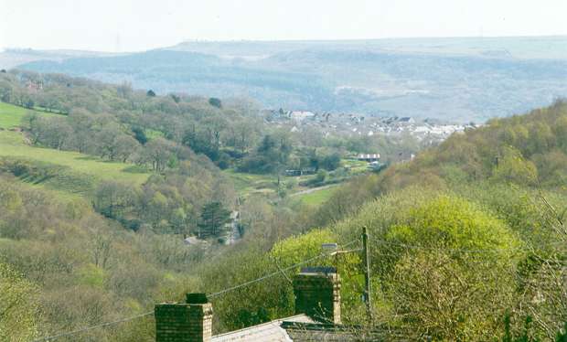
Above: View looking east-southeast from above Craig-cefn-parc towards the village of Clydach in the Swansea Valley.
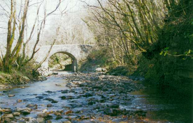
Above: Looking upstream towards the old bridge over the Lower Clydach river at Pont Llechart.
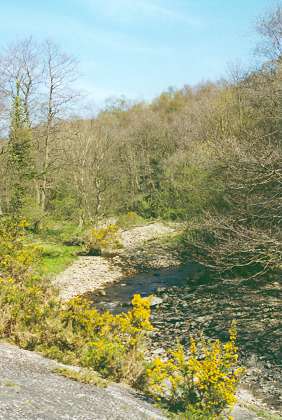
Left: Lower Clydach river, looking upstream from the bridge at Pont Llechart.
Above: Capel Gellionnen (Gellionnen Chapel)
This Unitarian chapel is remotely situated on the upland Mynydd Gellionnen, one of the highest regions of Llangyfelach parish. A chapel for protestant dissenters was first established here in 1692. The present building was erected in 1801 by Rev Josiah Rees. Learn more about Gellionnen Chapel on my Welsh Churches & Chapels Collection and on the Gathering the Jewels website and the GENUKI Llangyfelach Chapels Database.
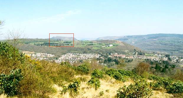
Above: View looking northeast from Mynydd Gellionnen, across the valley of the Upper Clydach river into neighbouring Llangiwg parish.
The flat-topped hill left of centre (framed) is Mynydd Allt-y-grug; to the right of Allt-y-grug is the Swansea Valley; to its left is Cefn Gwrhyd (Gwrhyd ridge). The community in the right middle distance is Pontardawe.
Above: A telephoto lens shot of the framed area in the previous picture.
On the horizon is Mynydd Allt-y-grug. In the middle distance, just left of centre, is St Ciwg’s, the parish church of Llangiwg (see Welsh Churches & Chapels Collection for further details of St Ciwg’s Church).
 Images of Wales